Wenaha River pHOS
Masters student Emily Treadway
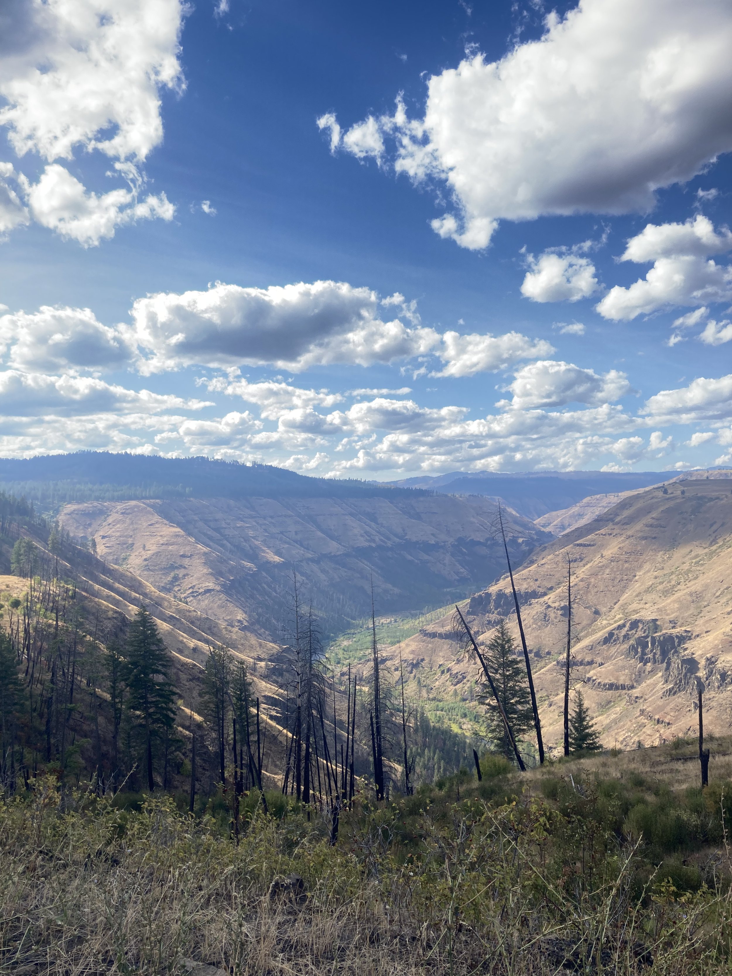
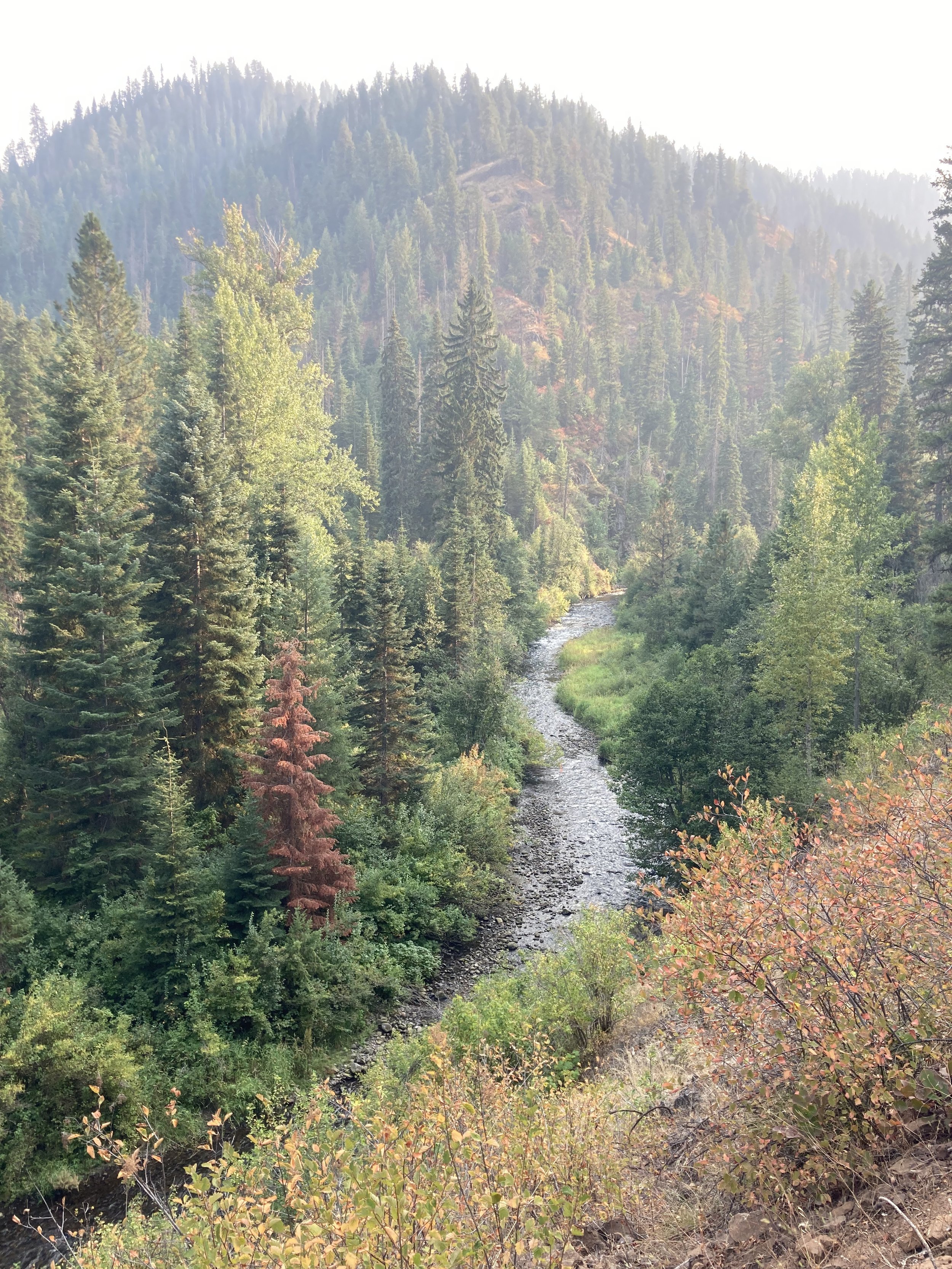
The Wenaha River is a wilderness stream in the Grande Ronde Basin that is home to a small, locally adapted population of spring Chinook salmon. While hatchery supplementation has been intended for other rivers in the basin, the Wenaha has become home to an unknown amount of unintended hatchery Chinook strays. This project investigates the rate of straying into the Wenaha River by estimating the proportion of hatchery origin spawners (pHOS) and weighted pHOS (pHOSw) which accounts for the spatial and temporal distribution of these spawners. While the remote nature of the Wenaha limits human impacts it also makes monitoring of these endangered fish difficult. In the last decade, local managers have struggled to acquire sufficient data to report estimates of pHOS in this population due to survey accessibility issues and predation rates upon carcasses. This project blends intensive backcountry field work in the wild west with innovative modeling techniques to investigate how to do more with less data and maintain a meaningful understanding of population dynamics in response to local hatchery supplementation practices.
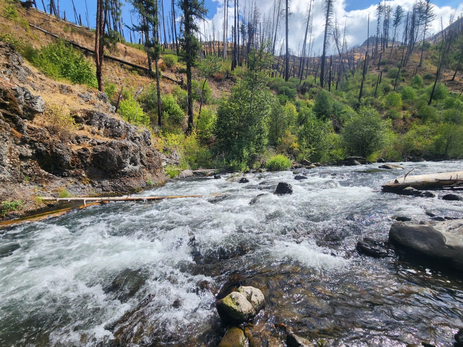
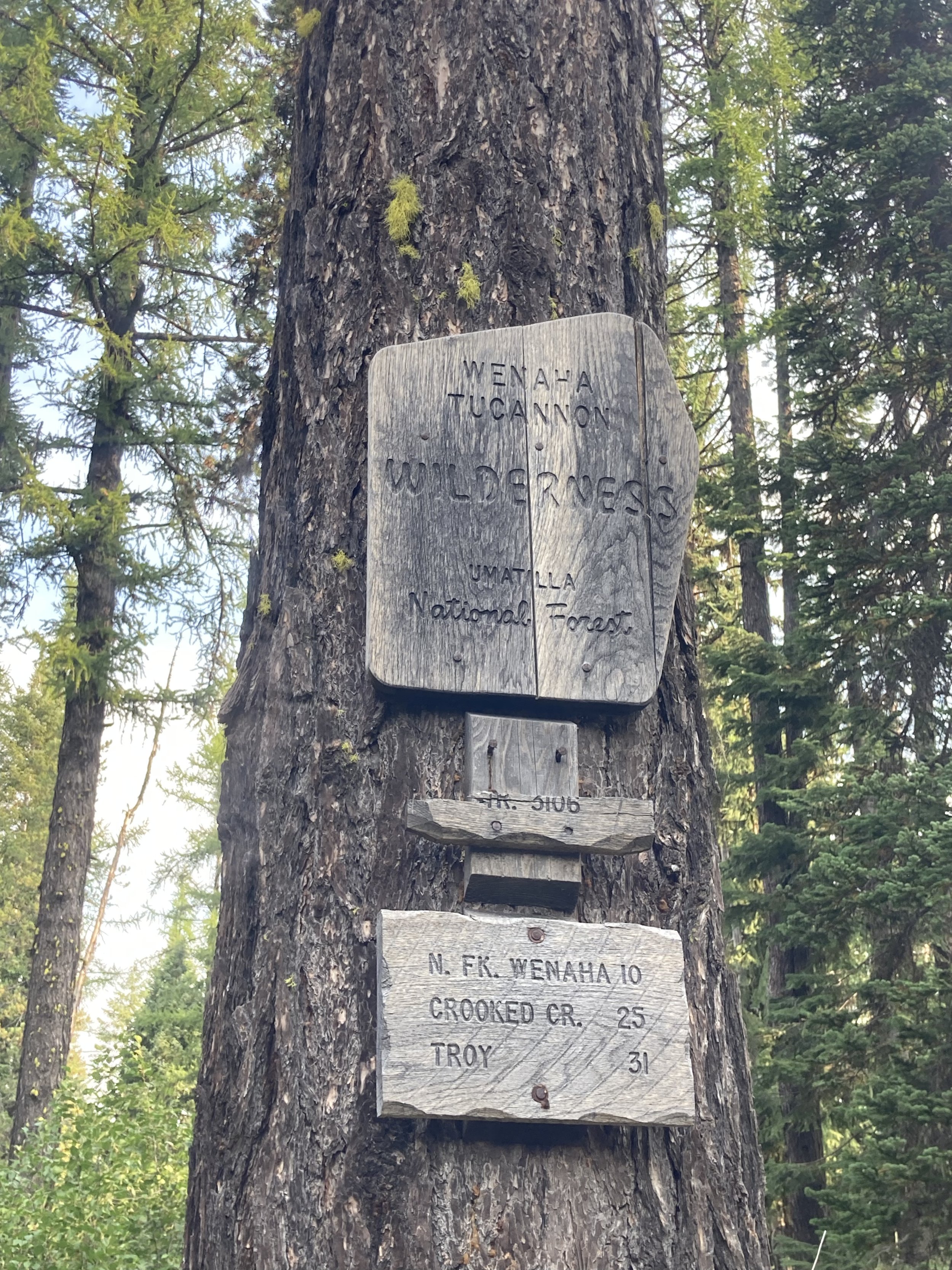
A tributary of the Grande Ronde River, the Wenaha River is a wild and scenic river in Northeast Oregon. The unincorporated community of Troy, OR lies at the mouth of the Wenaha.
Methods
In the Stream
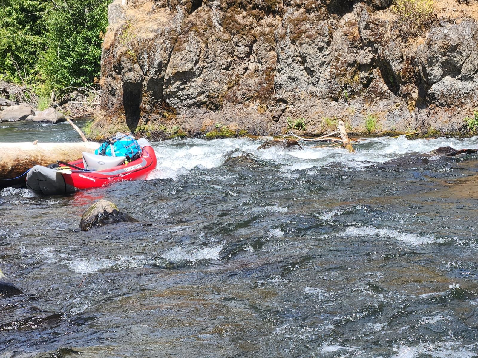
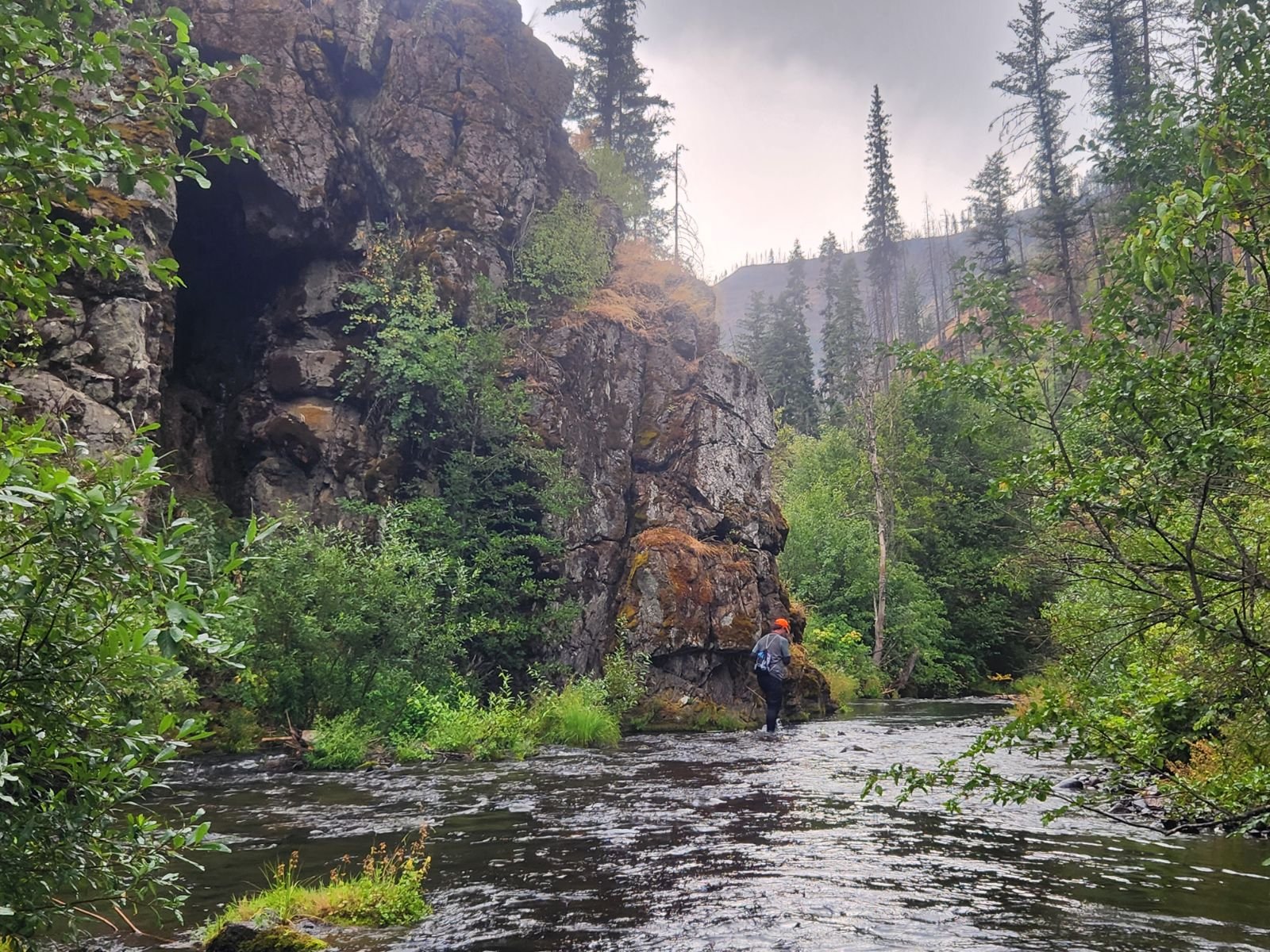
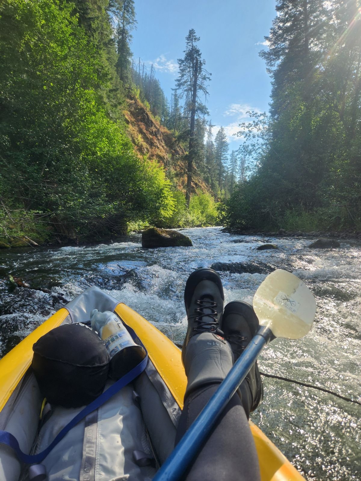
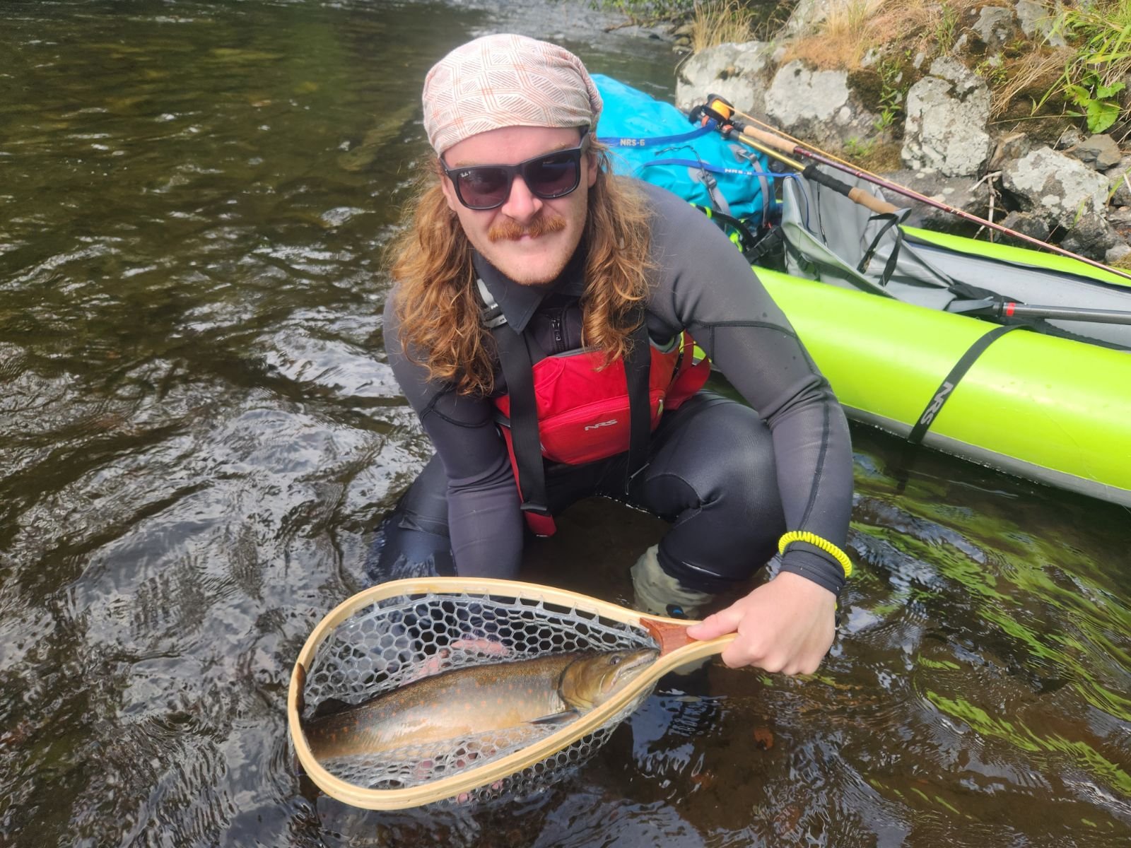
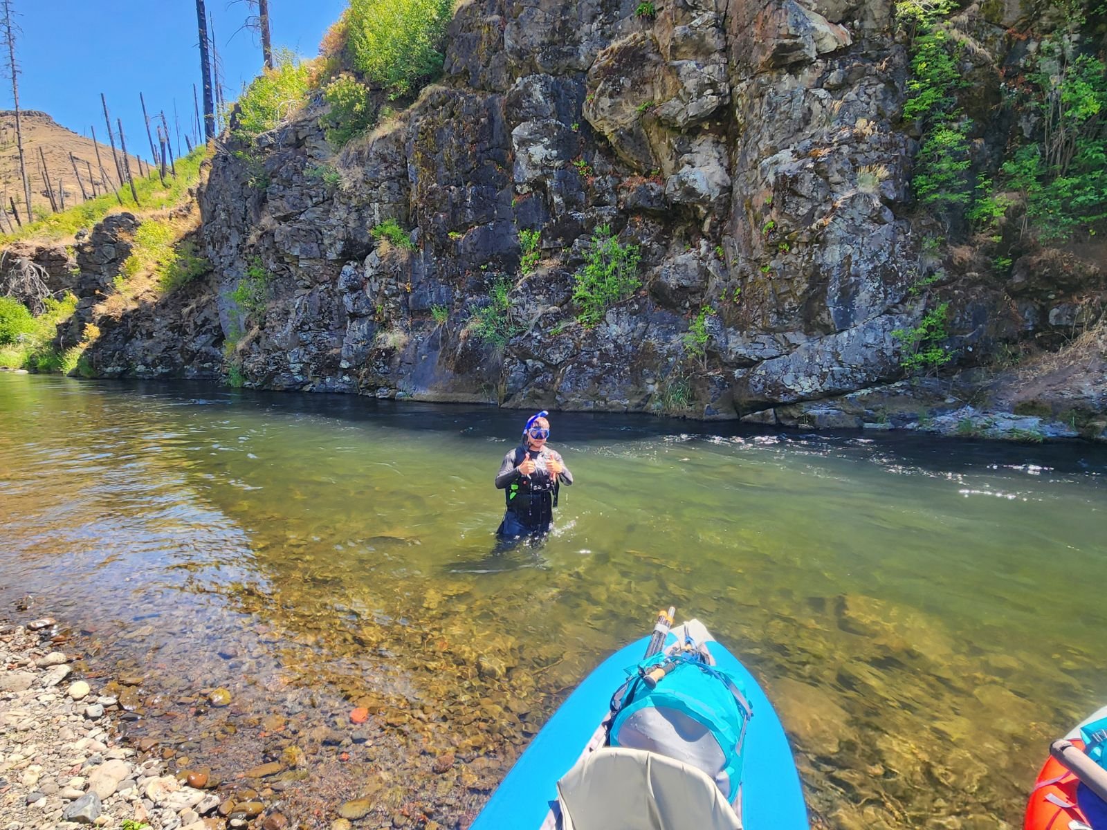
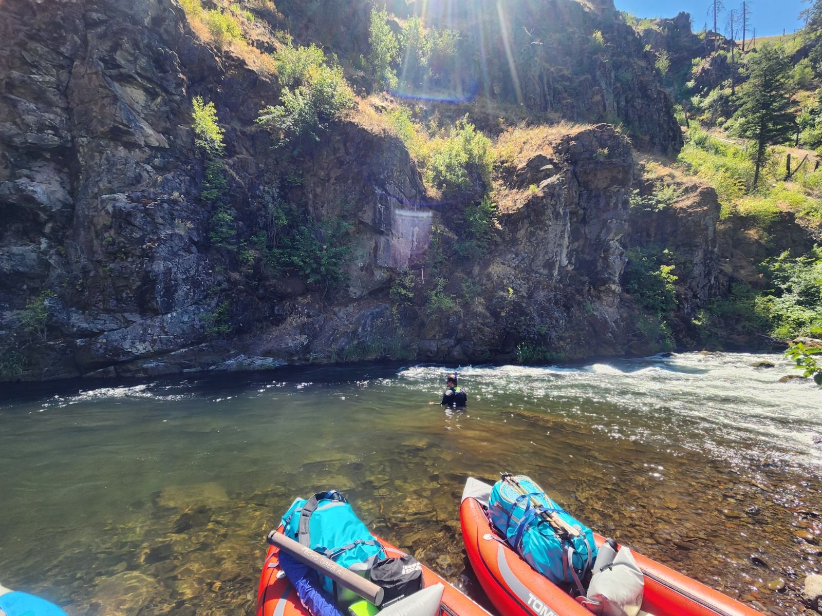
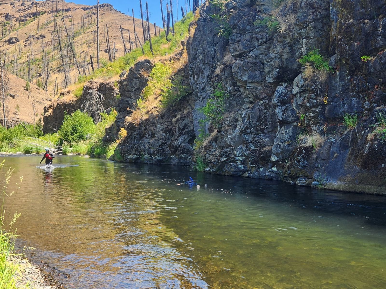
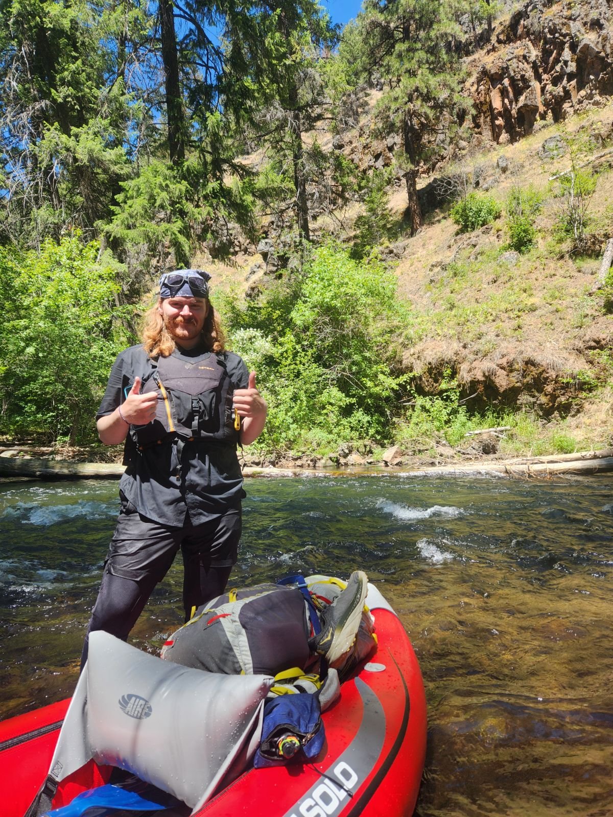
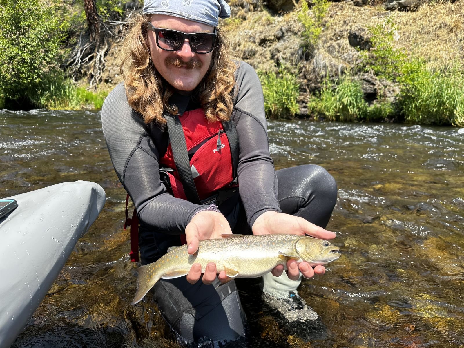
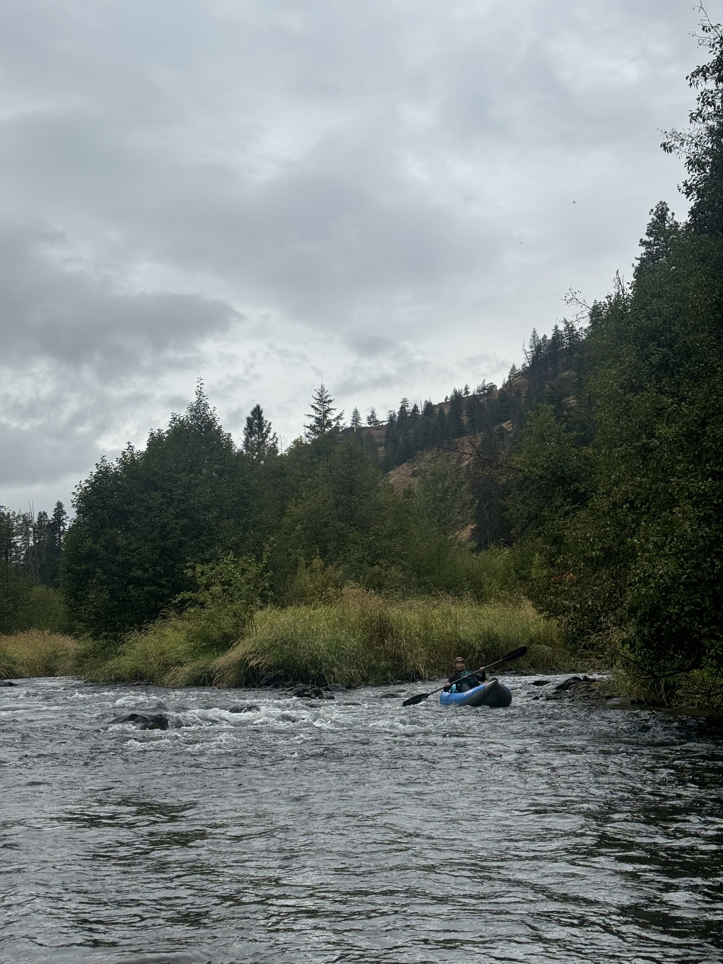
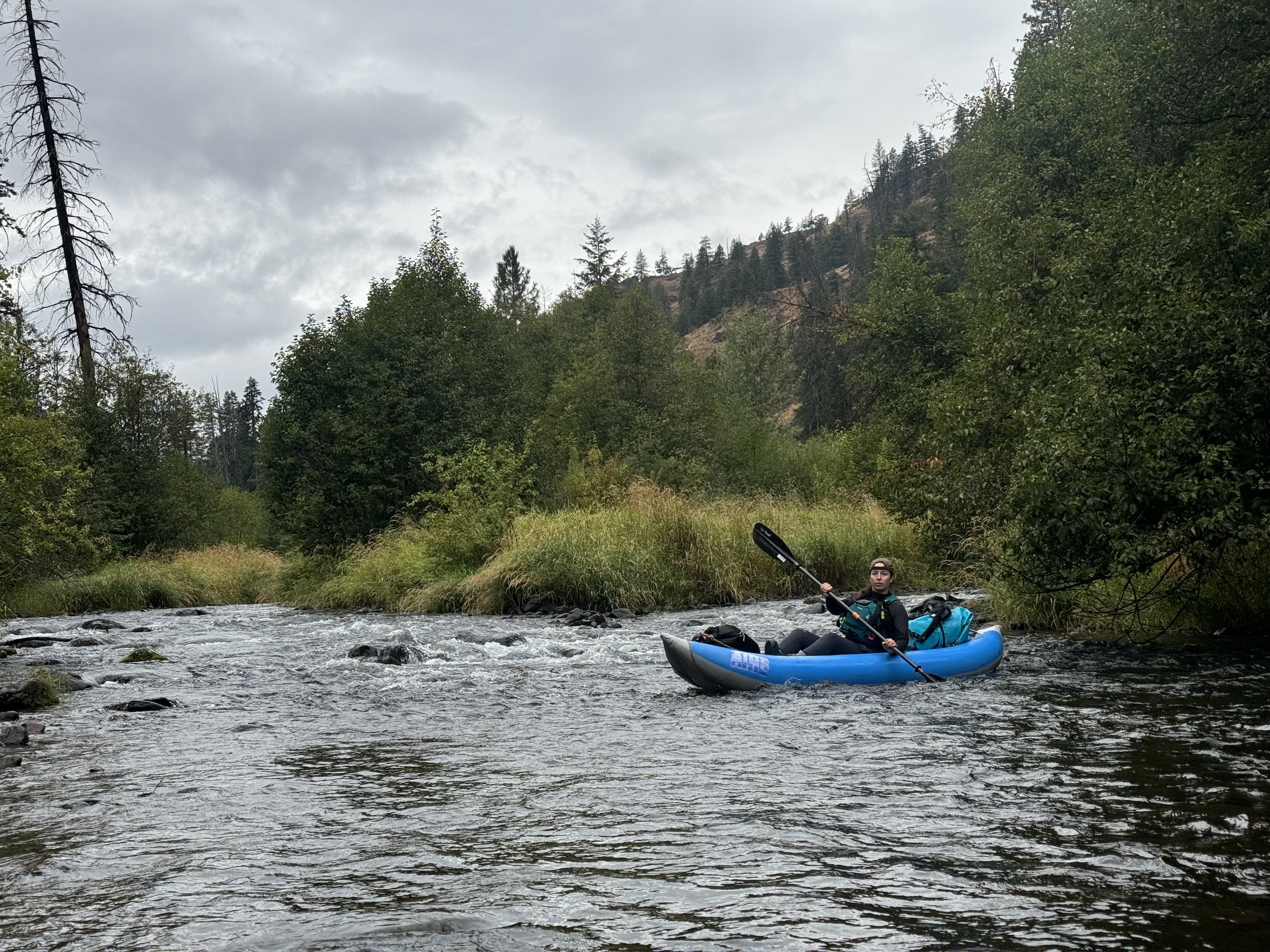
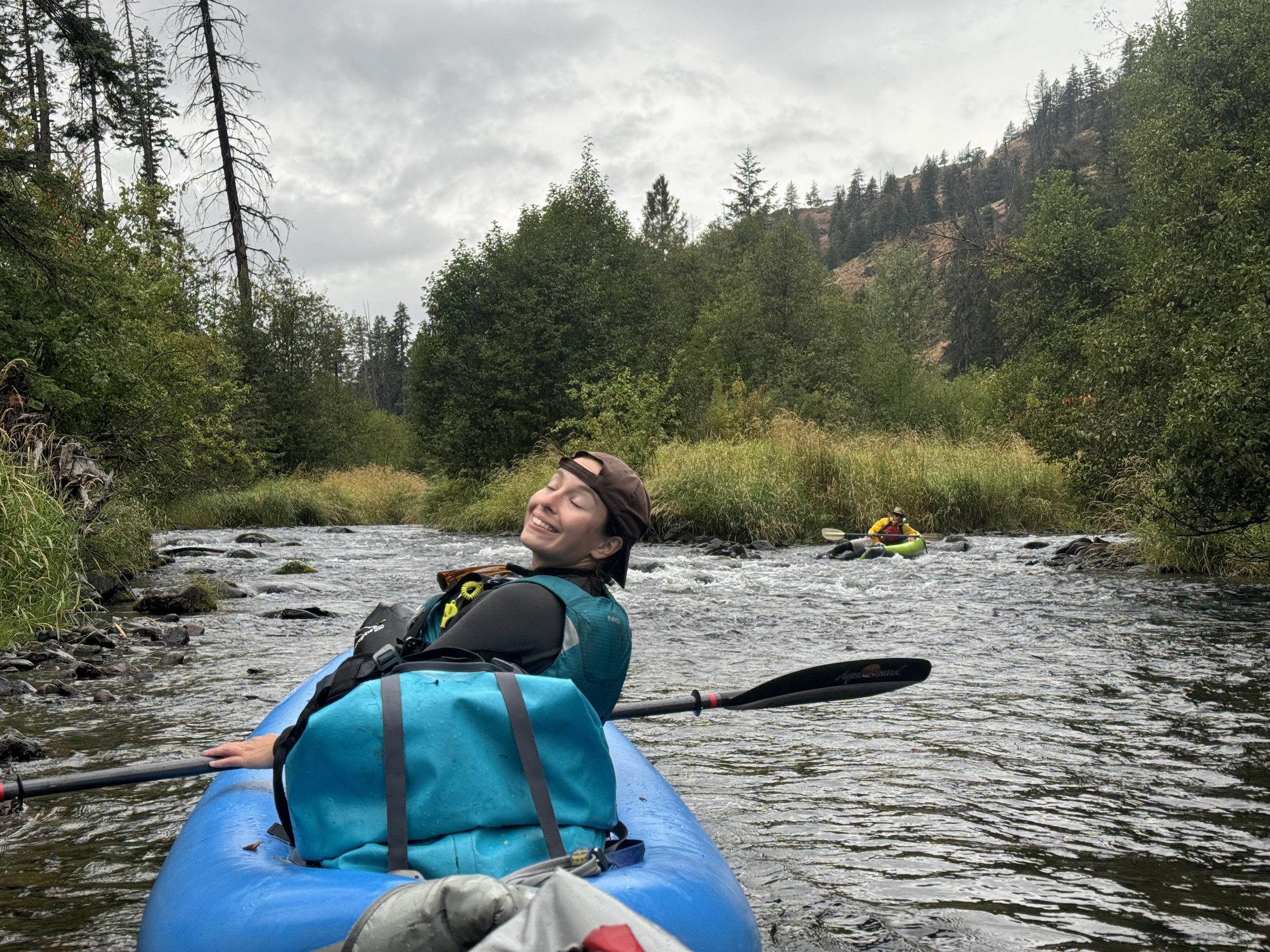
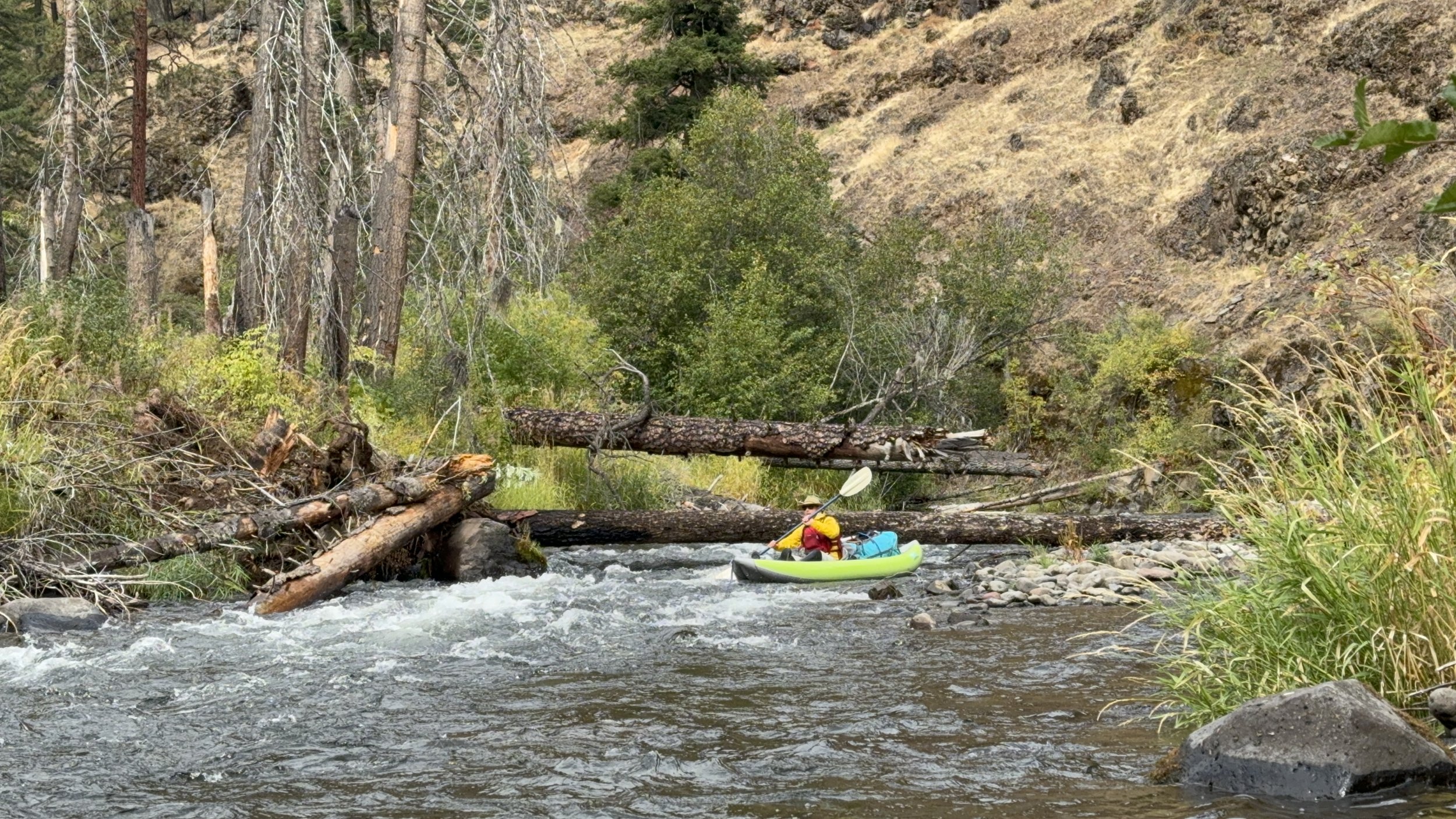
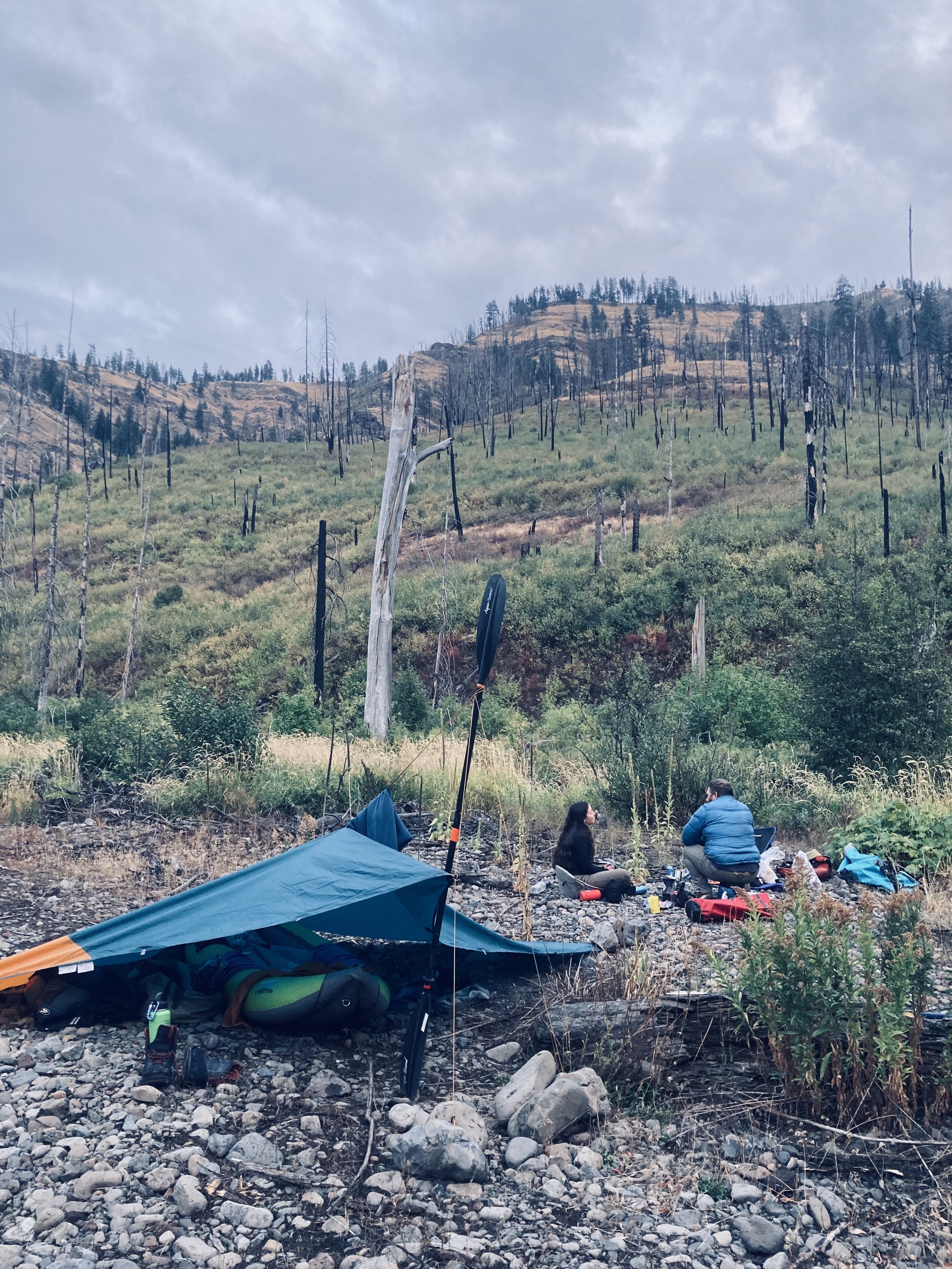
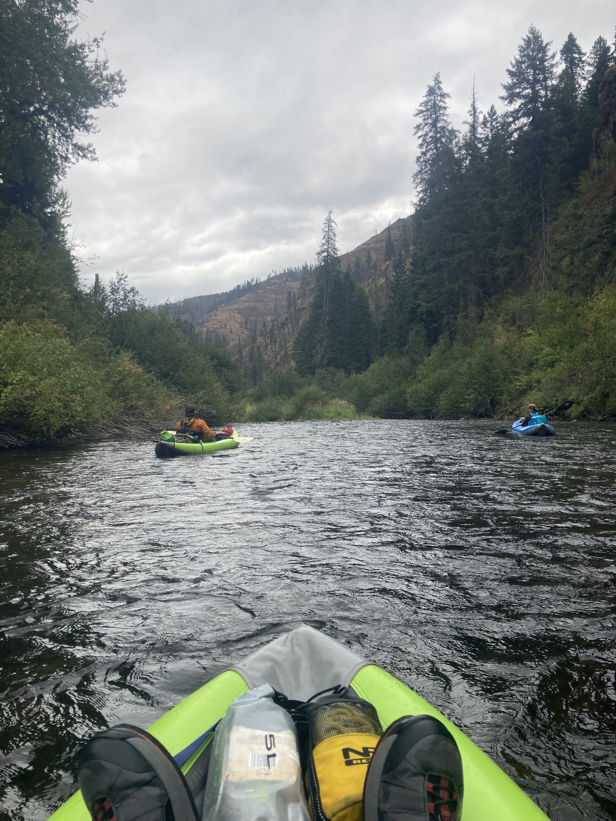
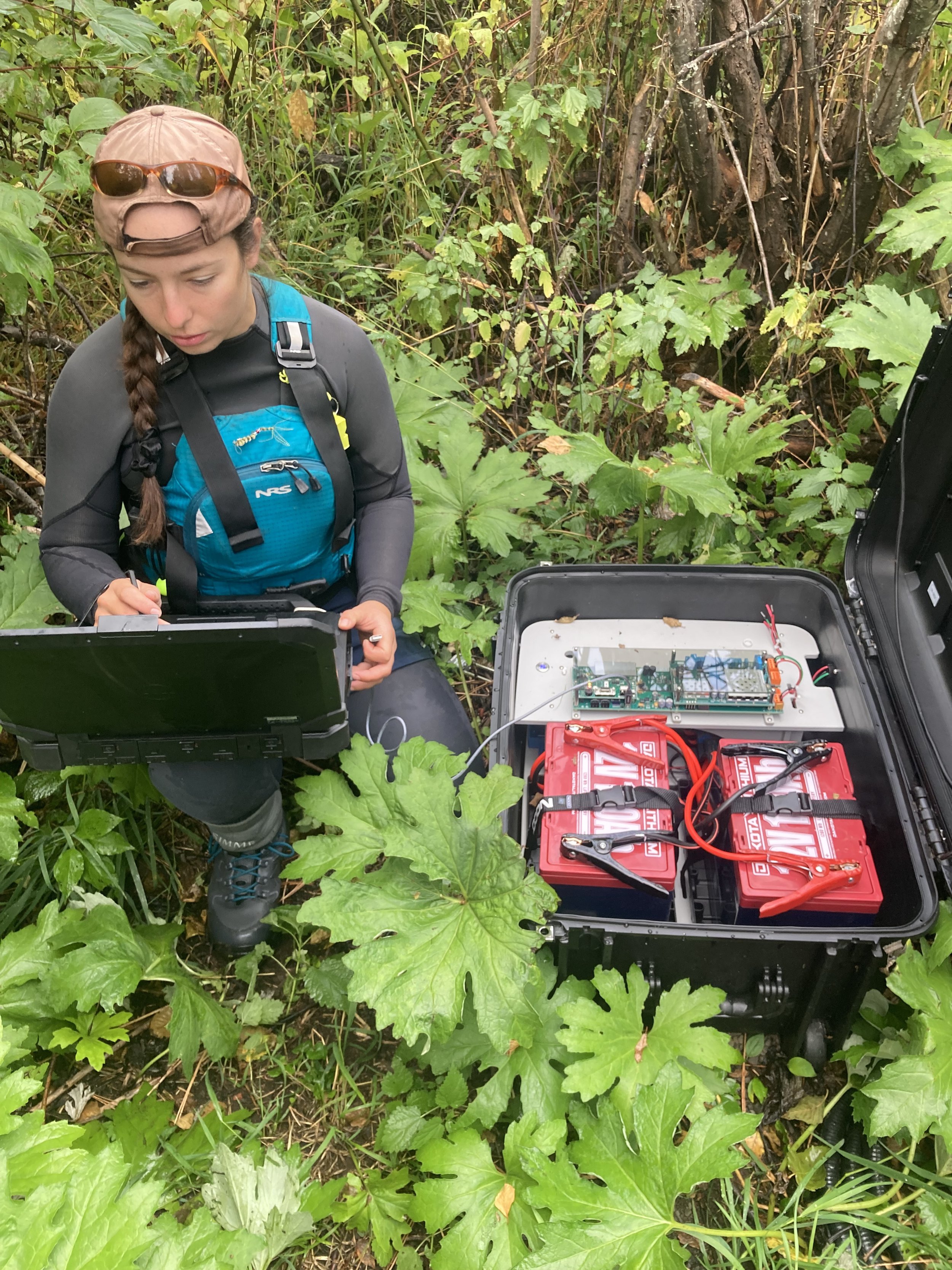
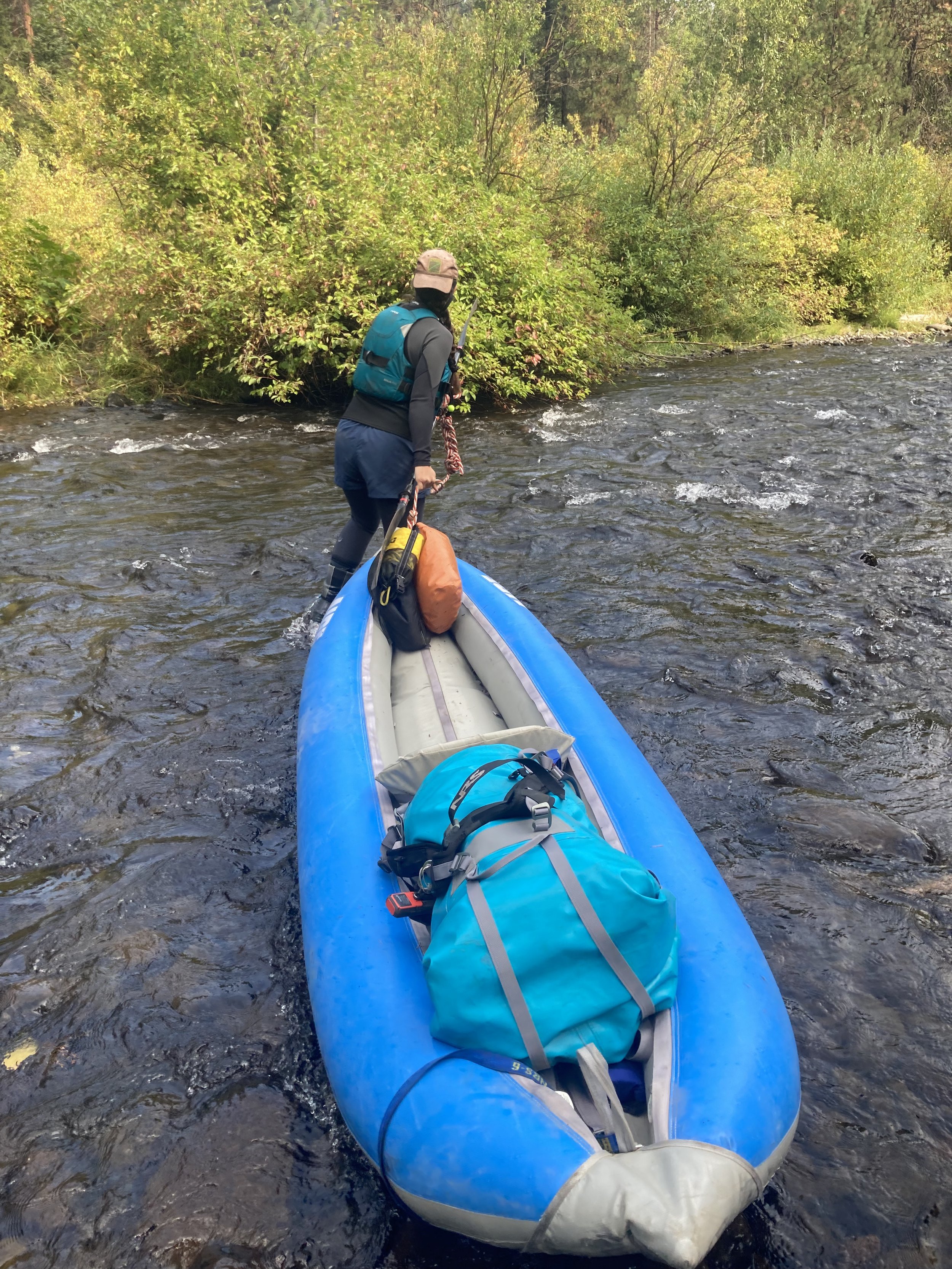
Combining data collection techniques is critical for this system because it is data poor and difficult to access. Weekly surveys were completed by foot and kayak for live adults, redds and carcasses. These surveys were built around the standing method for historic spawning grounds surveys that have been occurring in the Wenaha since 1949 to maintain data relevancy. Additionally, all large pools in the survey area were snorkeled until the transition into active spawning. Then passively, four temporary remote PIT antenna sites were deployed at key areas in the system to track the movements of PIT tagged fish. These methodologies allow for a large set of pHOSw estimates to then be analyzed to determine which resolution of temporal and spatial data pHOS can be calculated in a useful and appropriate way. A second field season is planned for the summer of 2025 which will build upon lessons learned in 2024. There will be a shift of focus from snorkeling to more live adult observations and the addition of game cameras to identify predation on carcasses and abundance of adult Chinook in key locations. There will also be increased foot surveys in the spawner dense reaches during peak spawn to further increase carcass recoveries.
Behind the Screen
These data, paired with the large historic datasets for the Grande Ronde basin, will be used to build an R shiny app for estimating pHOSw using unique input parameters to adjust for different sample sizes, survey areas, and time frames. Using the latest literature and data from other systems where the dispersal of spawners is more confidently known we hope to create guidelines for acceptable estimates of pHOS that represent the interactions of the spawners in an informed way. Additionally, we are exploring how to model the impacts of pHOS on population size by linking pHOS, smolt to adult return rates, and fitness rates by origin. This will help managers interpret pHOSw estimates and forecast potential ecological outcomes.

Importance of the Work
This work will be directly used to update monitoring and evaluation practices in the Grande Ronde basin in relation to the hatchery supplementation program ran by ODFW and tribal comanagers, Confederated Tribes of the Umatilla Indian Reservation (CTUIR) and Nez Perce Tribe (NPT). Understanding the unintended impacts of hatchery supplementation helps managers ensure that both conservation and mitigation goals are being met to further boost the endangered Snake River Spring Chinook Salmon.
This project is funded by the Lower Snake River Compensation Plan and the Oregon Dept. of Fish and Wildlife

